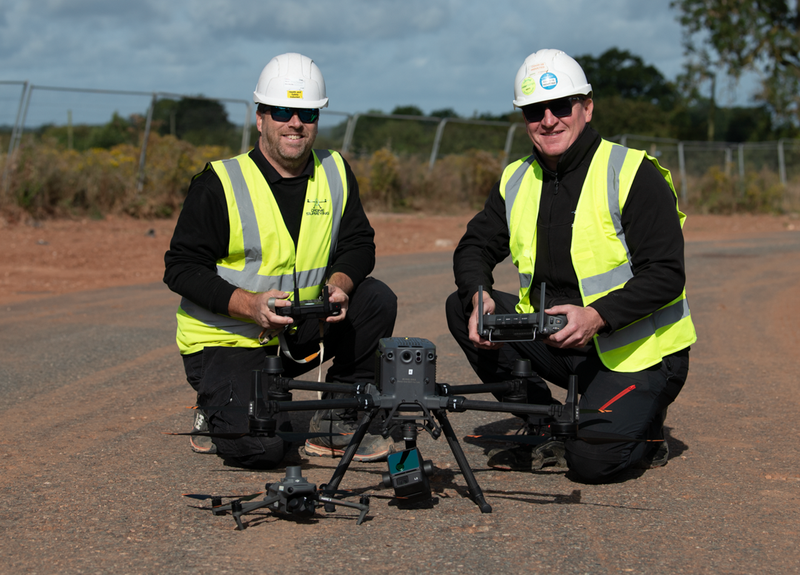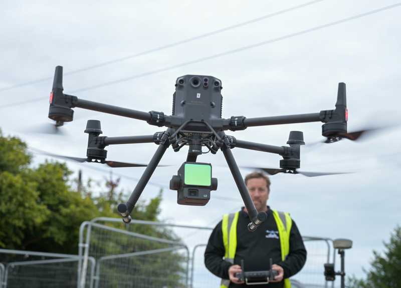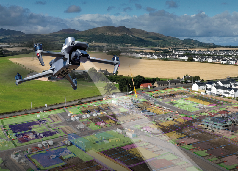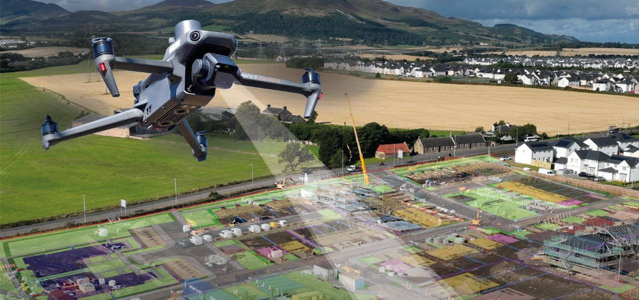
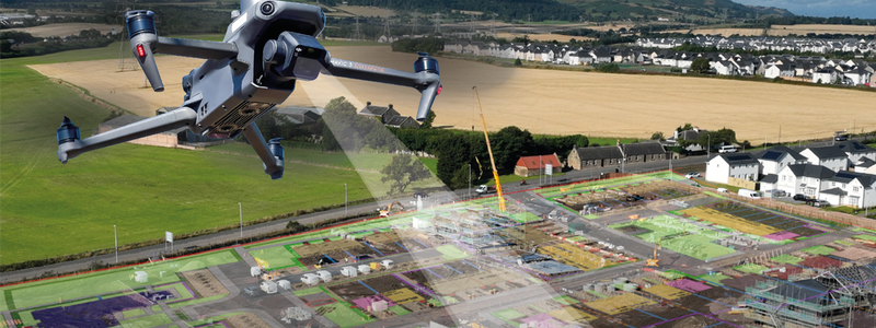
Drone Surveying has revolutionised how the UK’s largest housebuilders approach site assessments, project planning and monitoring construction projects over the last 10 years – saving teams vast amounts of time and money on the ground.
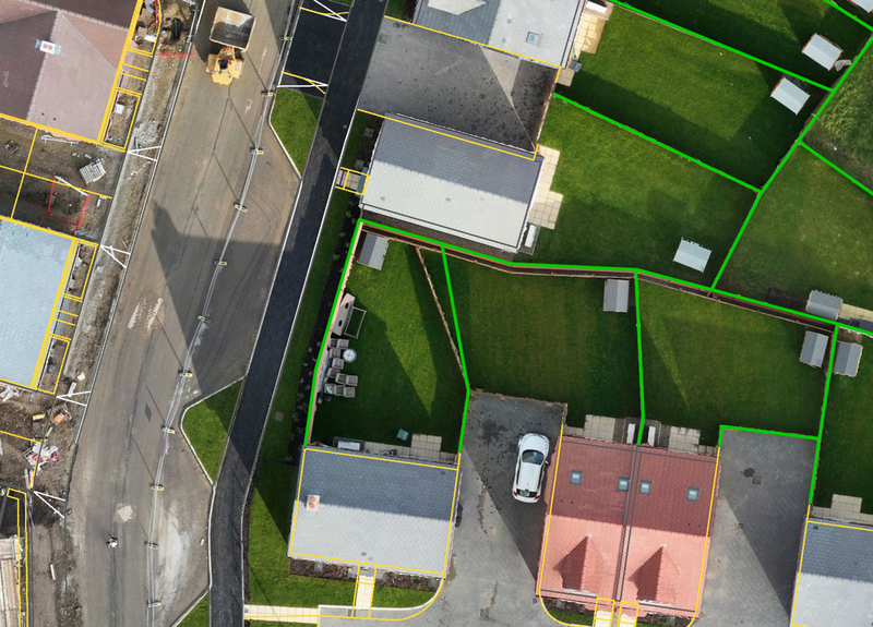
Each survey captures over a million points of data using the latest high-specification drones, which is processed into a 3D model of the entire construction site using industry-leading software.
Access to an easy-to-use innovative mobile app allows teams to seamlessly integrate the survey data into their daily workflow to make live checks, allocate tasks and respond to issues – reducing delays and improving productivity.
Drone Surveying’s clients can obtain working measurements within minutes, removing the need for surveyors on the ground. Survey data is used to:
- overlay site designs, CAD surfaces and PDFs to verify the positions of roads, driveways and plots to compare the as-built against the design and rectify mistakes before they become costly headaches
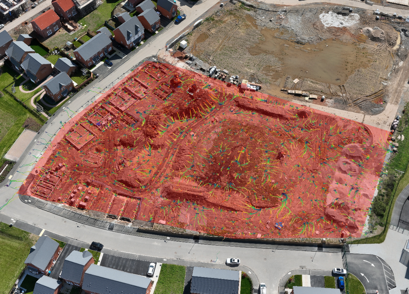
- carry out accurate cut and fill analysis ensuring earthwork operations stay on course and on budget
- precisely measure stockpiles and earth movements across an entire site to support the Material Management Plan
- visualise how heavy rainfall or flowing water will affect specific areas of the site
- monitor progress on site and support marketing activity.
Commissioning regular drone surveys guides decision-making to enhance project workflows - creating time and efficiency savings at every stage of construction.
To discuss your bespoke surveying needs, email info@dronesurveying.co.uk